Slovak Paradise
Sun, Aug 18, 2013Hello again,
yesterday I was at the Slovak Paradise National Park together with Felix, Simon, Simons girlfriend ans his mother. Slovak Paradise is about 100km northwest of Kosice. We went there by public transport. First we got to Spisska Nova Ves by train (Kosice 08:15 -> Spisska Nova Ves 09:10) and afterwards with a bus to Cingov, an entrance point in the north-east of the Slovak Paradise.
So we started our trip and followed the blue route on the map to ‘Biely potok ustie’ and from there to ‘Klastorisko’. If you click the diffent points on the map you see the height and some pictures. This route was very hard because it was a strong ascent in this part. We went up about 350m and had a beautiful overview to the south of the national park. Also we were able to see the ‘Hight Tatras’ in the north from here.

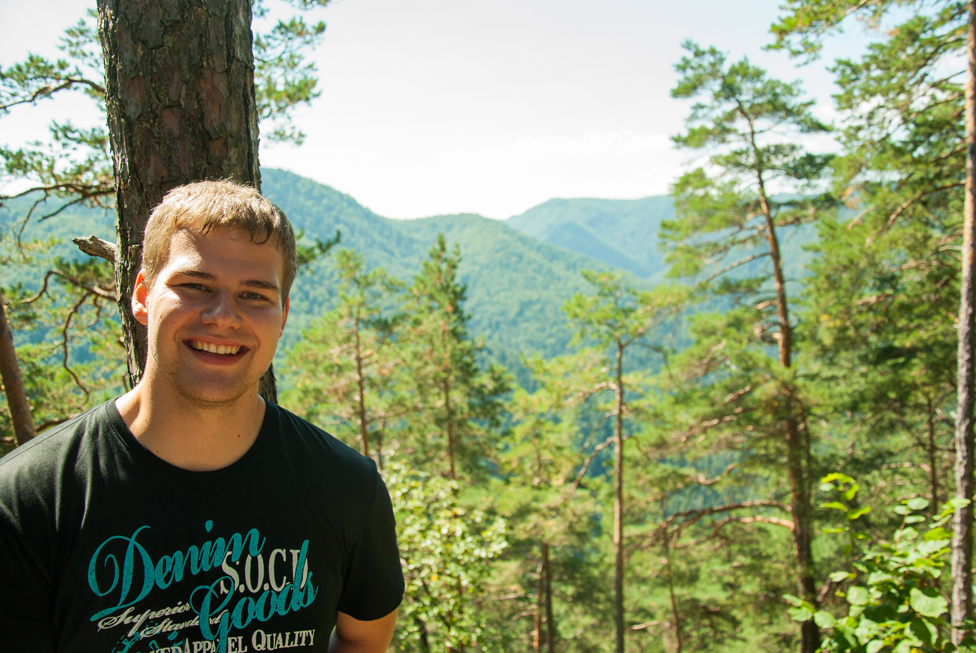
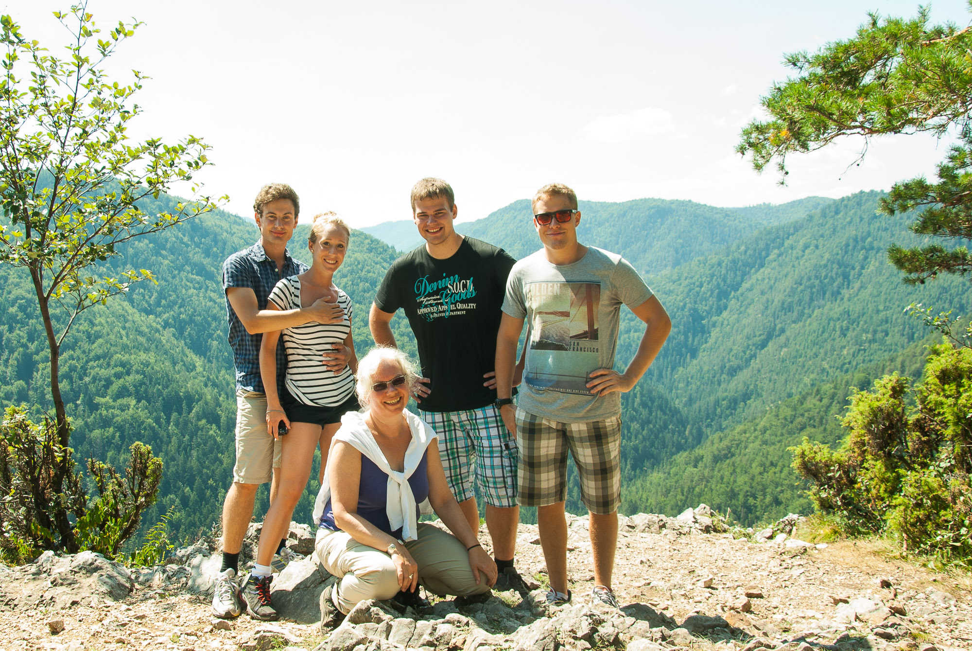
After arriving at ‘Klastorisko’, one of the very few places where you can buy food and drinks (for very high prices, so prepare yourself with enough water and snacks), we made a break. So far the trip took us about 2 hours.
From Klastorisko we took the yellow route to ‘Klastorska roklina’. This seemed to be an easy part of the our trip, but after half of the way we had to manage a strong descending and narrow way with many other people. At ‘Klastorska roklina’ we passed the river and followed the blue route back to ‘Cingov’. This part was the most adventurous of all. We had to pass some ladders and platforms directly at the stonewall.
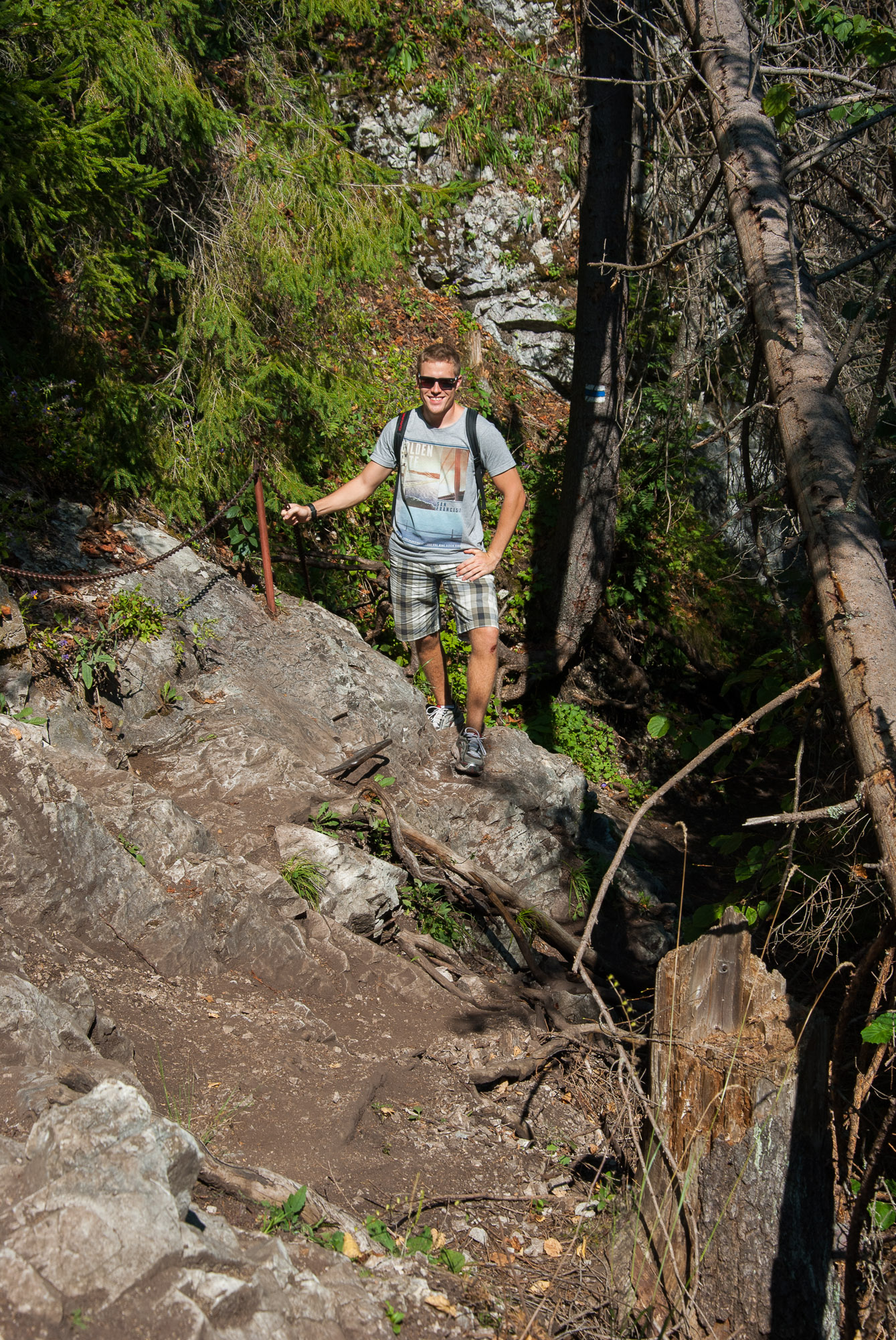
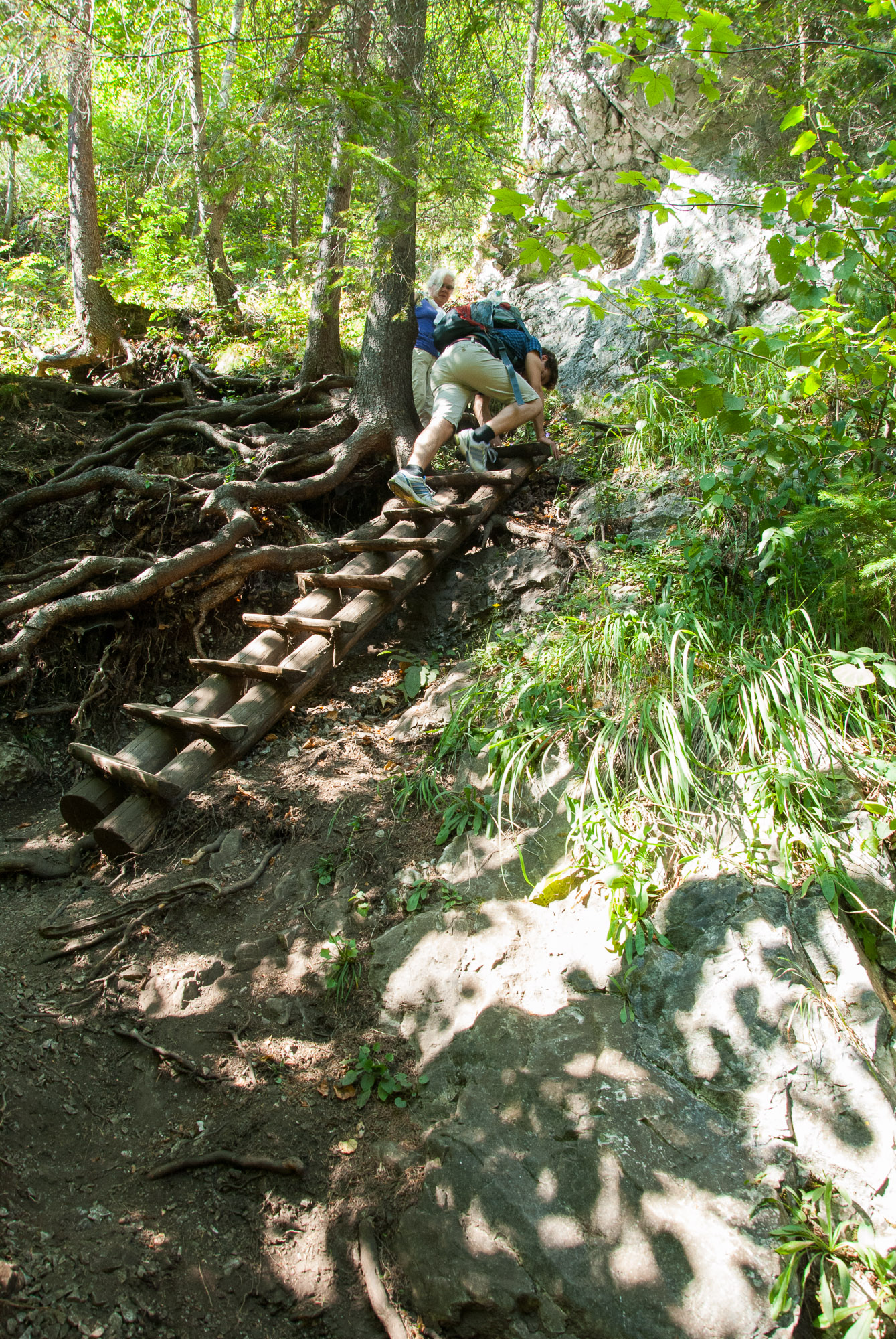
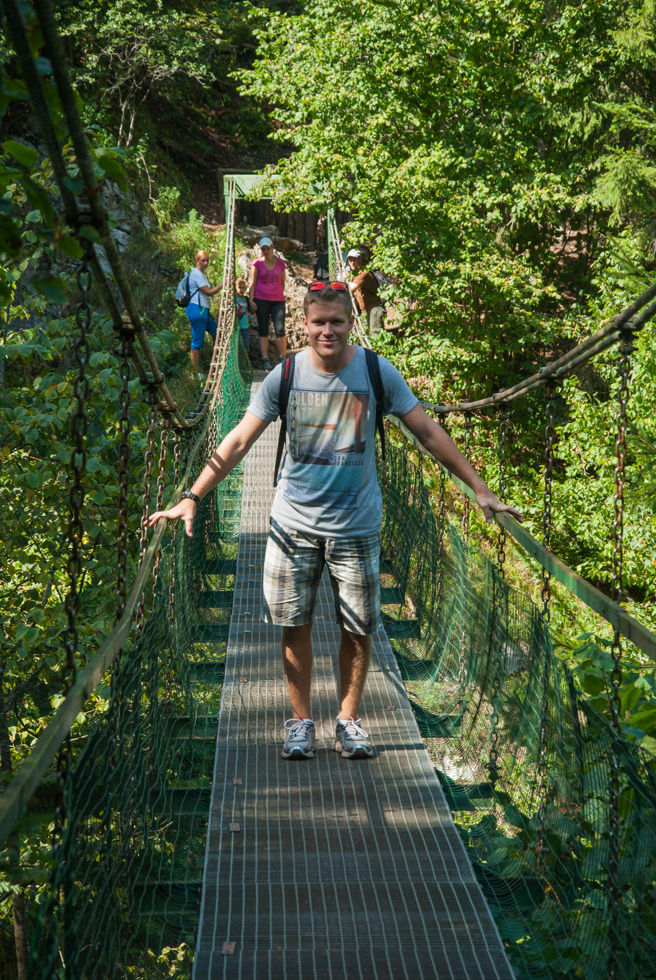
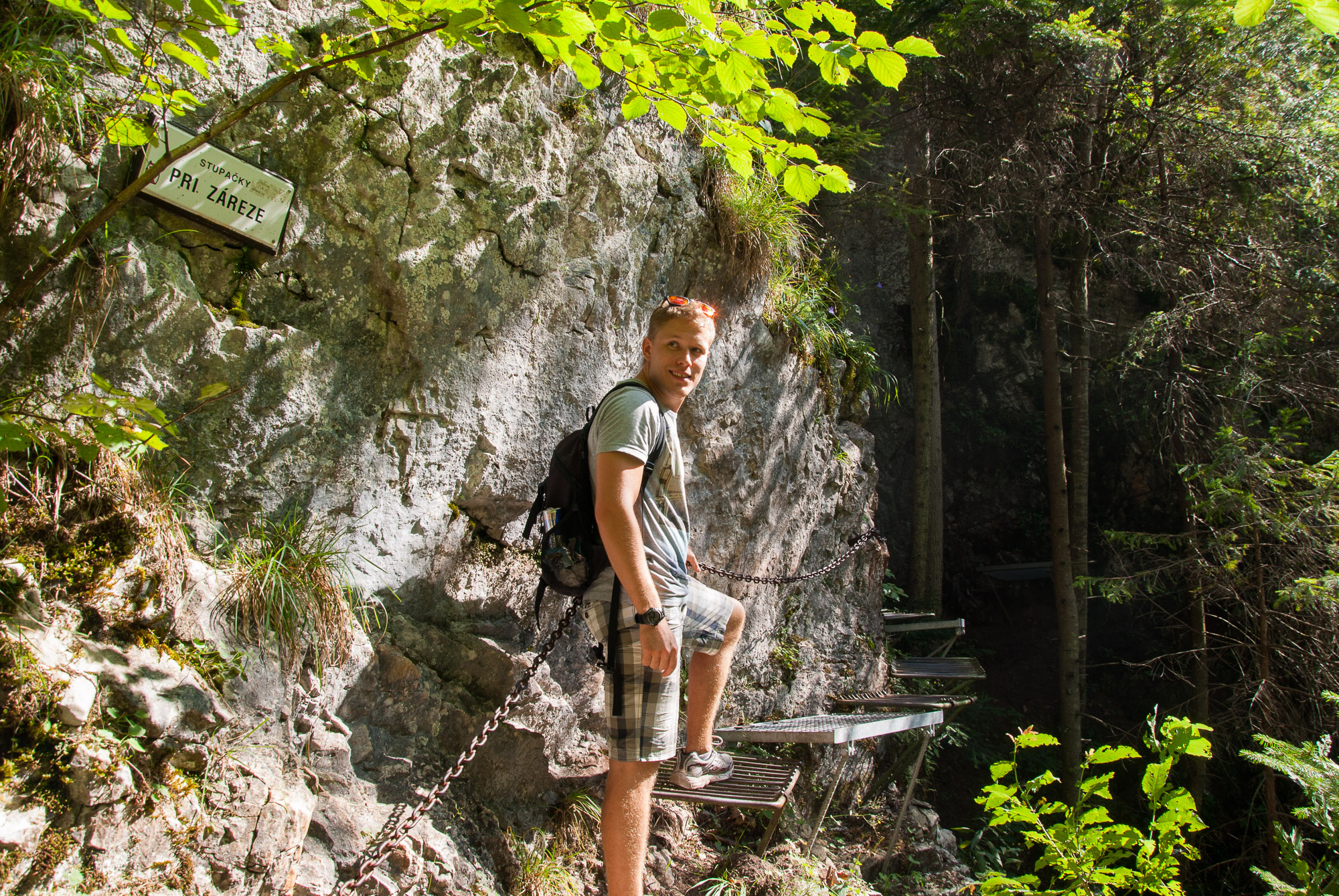
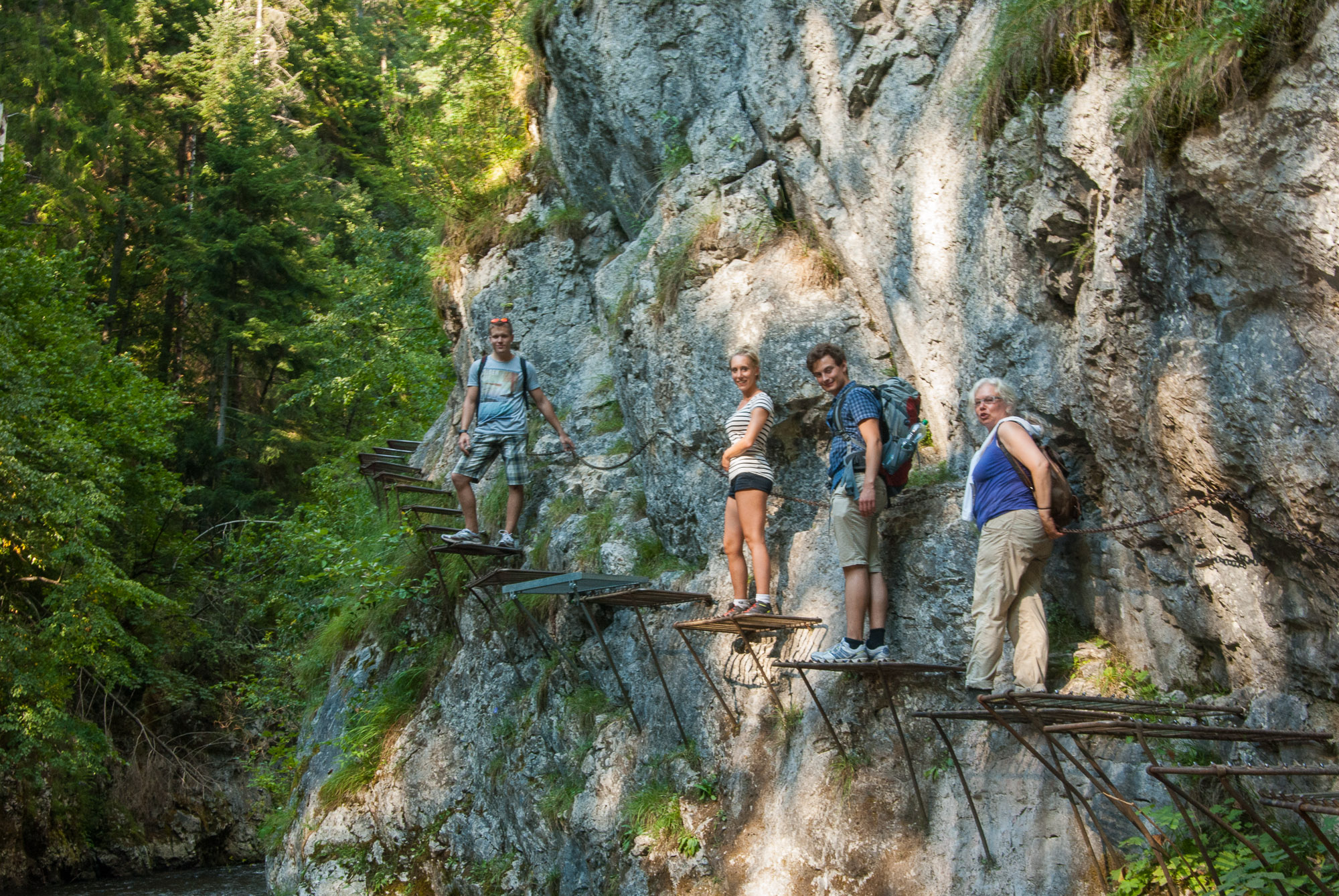
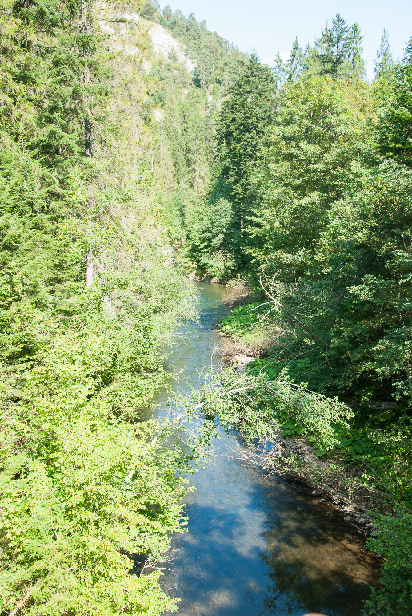
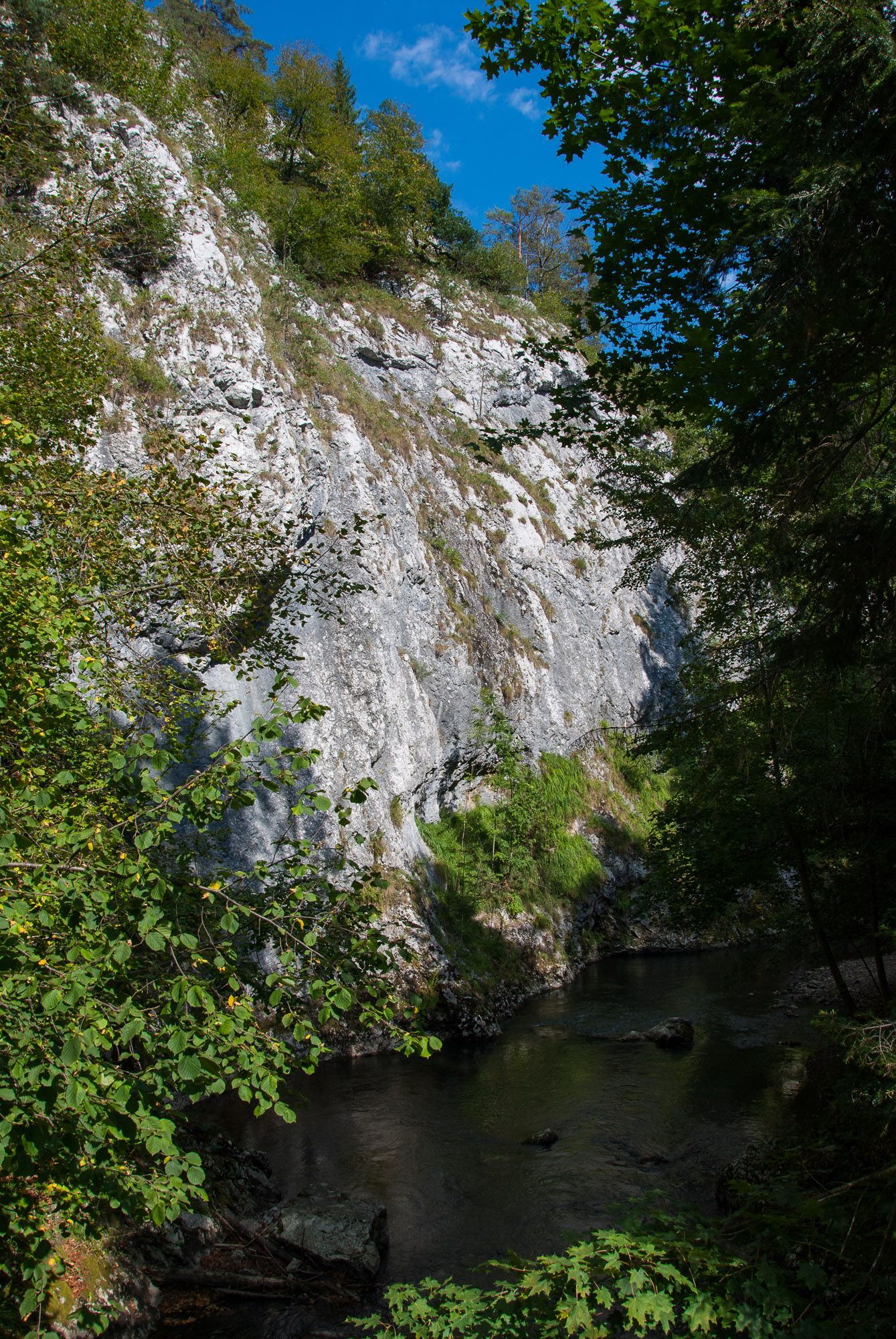
We arrived at ‘Cingov’ around 17:35 and took a Taxi to the train station because we missed the bus and we would have to wait about 1.5 hours for the next bus. Because of some extra meters we walked by going the green route for a while (and go back again…), the length of our trip was about 13 kilometer. It was very exhausting but also a lot of fun and adventure to walk those routes.
We did not see the most famous part of slovak paradise ‘Sucha Bela‘ because it was to far away of our entrance at ‘Cingov’. So if I would plan another trip I would recommend to start at ‘Hrabusice’.
Links: Map: http://www.mapaslovenskyraj.sk/en/tomasovsky_vyhlad.html Public-transport search engine: http://cp.atlas.sk/vlakbus/spojenie/